
Sequoia and Kings Canyon National Parks, California
Well, unfortunately and fortunately, this great adventure
did not come with easily accessible WiFi. So, we do not have regular posts
here. But instead, here is a summary of this great trip. Lots of photographs
and artwork to follow.
After a peaceful night of sleep in a campground, lulled to
sleep by a wild river and singing crickets, we climbed the winding road toward
the higher elevations of this park, the views were spectacular: snow on rocky
peaks, wildflowers in bloom, and western birds singing. As we climbed higher
the air smelled dry and clear and the trees got bigger. As we approached the
“Giants’ Forest” we were in awe. Huge red barked sequoia trees reached up for
the sky so tall we couldn’t see where they stopped. Light filtered through the
canopy and gave an atmosphere of the primeval.

Pulling over by the roadside in a random spot to admire
these giants gave us more of an opportunity for contemplation than stopping at
the next stop – the General Sherman tree. This tree is the largest (by sheer
volume) of any of the Sequoias. Given that people love to say they’ve seen “the
biggest” “the tallest” “the oldest” of anything, this tree was heavily goggled
at and photographed. It was impressive but so were the other “noble trees” (as
John Muir called them) in this forest.
 |
| Jer and Jo (and some peeping Tom) among the Sequoias |

On one beautiful morning we drove through this grove and,
with the sunlight rays coming through the giant trees, there was, just waking
up and soaking up some sun, a black bear. It was a beautiful picture.
 |
| There's a bear in there. Really. |
The bears in this area are fairly used to people. This is
not such a good situation for the people or the bears. People start to think
they’re almost domestic and act stupid, like getting too close for a photo.
This often leads to a bad encounter and the bear usually gets the blame for any
attack. The bear might be killed because of such an encounter for fear it will
attack again. But it’s the people who need to be educated on how to behave in
bear country.
 |
| Mule Deer |
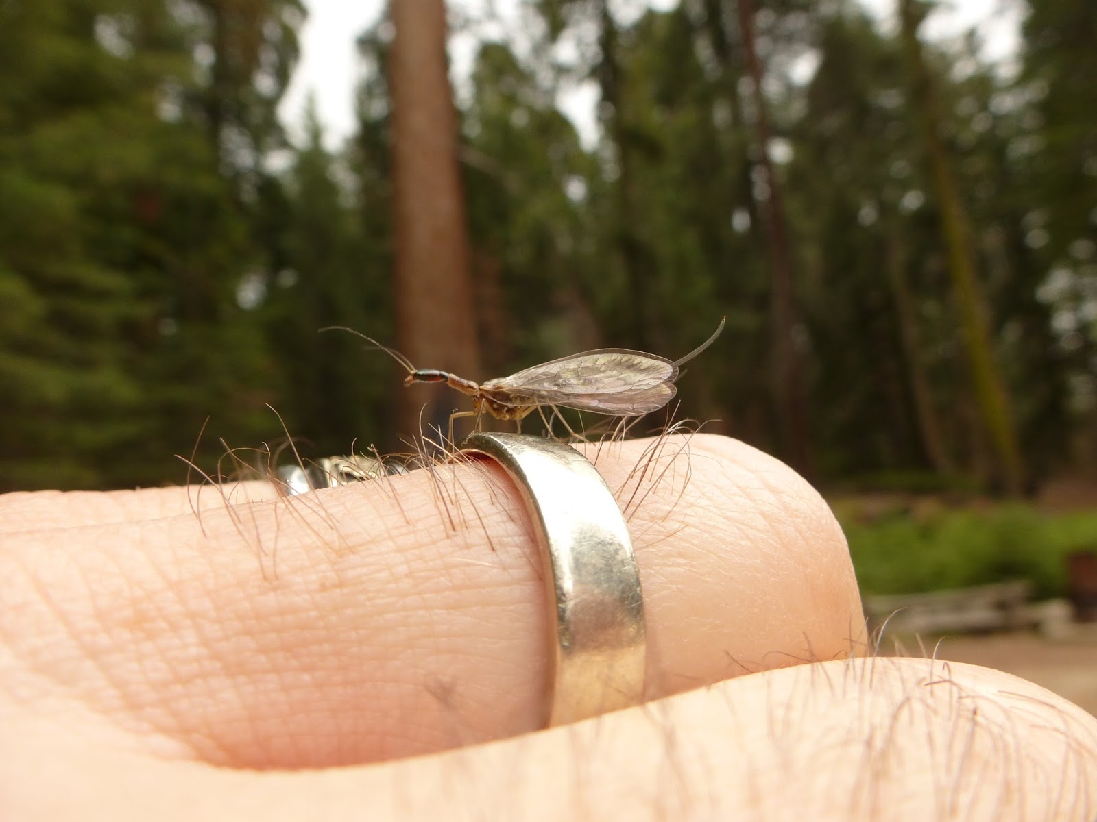 |
| Snakefly |
One of our gorgeous high country hikes took us to an area
known as Mineral King. It had once been a hotspot for the mining of silver. But
the mines stopped producing and at one point the National Forest Service owned
it and took bids for development. Disney almost won the bid to build a huge
skiing complex in this glacial valley. Luckily, the public outcry prevented
this and the area was acquired by the National Park. All I can say is “power to
the people!” It is gorgeous.
We drove our rental car up and up and up a
less-than-well-maintained mountain road full of hairpin turns. The road turned
into dirt and we passed a ranger station at one point, then headed up to a
parking area at the start of the trailhead. Wow! I thought I was in the Alps.
We were in a green mountain valley at about 6,400 feet elevation surrounded by
steep rocky mountain peaks. Some still had snow on them. There were long narrow
cascading waterfalls coming from the high peaks down to join the river that ran
through the valley. There were wildflowers everywhere and all kinds of birds.
It was paradise.
 |
| Cascading Waterfall |
 |
| Mineral King, mountain valley |
We hiked up a trail that promised about a 1,600 foot
elevation climb to a glacial lake, called Eagle Lake. We started up slowly,
taking it all in. Jeremy stopped frequently to take photographs. At one point
we heard a deep, resonating, periodic hum. After trying to locate it in bushes
and trees, we finally saw a well camouflaged bird in a fir tree. It had a huge
body and small head and moved in time with the hum so we knew it was the origin
of the sound. It was a grouse and it was either telling other grouse to get
lost or trying to attract a lady grouse.
We continued to climb higher and came across some deep
sinkholes. These were on the map but it didn’t explain if they were natural or
human made. (We knew from Colorado that miners often sunk sinkholes to find a
vein of ore.) One sinkhole swallowed up a mountain stream. The hiking map said,
“no one knows where it goes”. Creepy. A ranger later told us there were many
marble caves under the ground and sometimes they collapsed so this might be the
source of the sinkholes.
 |
| Wildflowers in bloom |
We came out almost above treeline to a boulder field and
were still in awe at our surroundings when I spotted a black bear above us on
the rocks. Thinking it was a young one, I was anxiously looking around for
Mama. We started making noise to scare it off. Ultimately, I think my
top-of-my-voice rendition of “She’ll Be Coming ‘Round the Mountain” made the
bear decide to turn in another direction. So, let that be a lesson to anyone in
bear country. Learn how to sing that song off key and nice and loud!
 |
| High Mountain Photographer, bear's perspective |
Sequoia National Park and Kings Canyon National Park are
right beside each other with one road leading into first one, then the other.
The road ends in Kings Canyon, and then there is wilderness. As magnificently
vertical the trees of Sequoia are, the amazingly horizontal surround of the
treeless canyon is another breathtaker. This time we drove down, down, down the
hairpin turns, avoiding lizards on the hot road, admiring the flowering yuccas
on the hillsides and ending up driving along a roiling river. There’s a
campground and visitor’s center down here, too, but in the summer, it is hot!
We drove to the end of the road and took the 9 mile round trip trail to Mist
Falls, a wide, loud waterfall spraying hot hikers with mist. A great place for
lunch.
 |
| King's Canyon by the River |
 |
| Mist Falls |

We were hungry for refreshment and stopped for ice cream at
the one stop on this road. There had been some hand painted old “ice cream”
signs on the way down. The Kings Canyon Lodge was a main building with a gas
pump and a bar (and ice cream) and a bunch of rentable cabins. This building
was full of dead, stuffed local wildlife that looked like it had been around
since John Muir came through. The ice cream was good and the owner was grumpy.
For 10 nights we camped at a high elevation campground among
the big trees. We woke up with the birds, went to bed with the smell of
campfires, learned some things (or didn’t) from the rangers, and got inspired
by this beautiful land. Now we’re back in New England and will start sorting
through photographs and working on some artwork so we can share our
explorations.
 |
| Climbing to the Buck Rock firetower |
 |
| The Photographer and the Marmot |
 |
| Raven and Range |


No comments:
Post a Comment